Logan Franke · 27 September 2026
Manchester's Innovation District Experiments With Hybrid Sensor Networks For Broader Environmental Data Collection
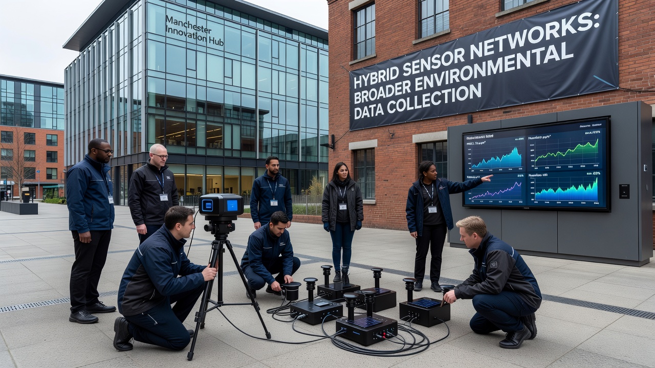
Manchester's Innovation District has launched experiments that combine multiple sensor technologies into unified networks, and these setups now gather environmental data across air quality, temperature variations, humidity levels, and particulate concentrations. The project integrates traditional fixed monitors with mobile IoT devices and satellite-linked units, which expands coverage beyond what single-type systems achieved in earlier trials. Researchers coordinate the effort through partnerships with local universities and technology firms, while data streams feed into centralized platforms that process readings in real time.
Network Architecture and Sensor Types
Hybrid configurations place electrochemical gas sensors alongside optical particle counters and acoustic monitors, and these components connect through low-power wide-area networks that transmit information to edge computing nodes. Fixed stations occupy building rooftops and lampposts throughout the district, whereas wearable and drone-mounted units fill gaps in pedestrian zones and construction sites. Calibration routines run automatically each week, and cross-referencing between sensor classes reduces drift errors that previously limited accuracy in standalone deployments. Observers note that the approach mirrors techniques tested in other urban centers, yet Manchester's version emphasizes denser placement within a compact research zone.
September 2026 Milestones and Data Outputs
By September 2026 the networks had logged over eighteen months of continuous operation, and cumulative datasets now cover seasonal shifts in nitrogen dioxide and ozone concentrations across different microclimates. Figures from the project reveal that hybrid arrays detected pollution spikes tied to traffic patterns and industrial activity with greater spatial resolution than legacy systems alone provided. Analysts compare these outputs against benchmarks from the U.S. Environmental Protection Agency monitoring programs, which helps validate local findings against broader North American datasets. Mobile sensors mounted on municipal vehicles add another layer, capturing readings along delivery routes and public transit corridors that fixed points miss.
Integration With Existing Infrastructure
City planners incorporated the sensor grids into ongoing smart-city upgrades, and power draws remain low enough to rely on solar supplements at most nodes. Data aggregation occurs through open protocols that allow third-party researchers to query anonymized archives, while privacy filters strip location identifiers before public release. The system also cross-checks readings with meteorological stations operated by the Met Office, which strengthens correlations between weather events and pollutant dispersion. Those who manage the platforms report that maintenance intervals have lengthened because redundant sensor types alert operators to faults before complete data loss occurs.
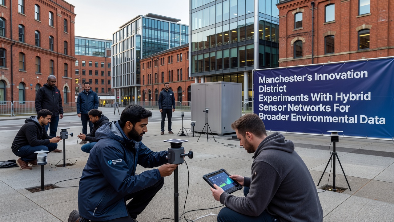
Expansion plans call for additional acoustic sensors to track urban noise alongside chemical readings, and early tests show that combined datasets improve models for heat-island effects in dense building clusters. Academic teams at nearby institutions analyze the streams to study biodiversity indicators through correlated temperature and humidity patterns, and preliminary reports link vegetation coverage to localized cooling trends. The district's layout, with its mix of research facilities, residential blocks, and green corridors, supplies varied test conditions that strengthen statistical robustness.
Challenges Encountered and Adjustments Made
Initial signal interference from surrounding 5G infrastructure required firmware updates across multiple device batches, and engineers resolved the issue by shifting select units to alternate frequency bands. Battery performance in mobile units also varied with weather exposure, prompting the addition of reinforced casings on newer deployments. Data latency dropped after edge processors took over preliminary filtering, which cut transmission loads to central servers. These refinements occurred incrementally, and each change underwent review against baseline metrics collected during the first six months.
Broader environmental applications now include tracking microplastic deposition and pollen counts, while the same infrastructure supports flood-risk sensors along waterways that border the district. Coordination with regional authorities ensures compliance with data-sharing standards, and periodic audits confirm that collection practices align with established environmental reporting frameworks. Comparisons with projects in Canadian cities such as Toronto highlight similar gains in coverage density when hybrid methods replace uniform sensor grids.
Conclusion
The Manchester experiments demonstrate how layered sensor technologies can widen the scope of urban environmental monitoring without requiring entirely new physical installations. Ongoing refinements continue to adjust placement and calibration protocols, while accumulated records support detailed analyses of pollution dynamics and climate interactions. Results from the district feed into larger regional assessments that track progress toward national air-quality targets, and the modular design allows other municipalities to adapt components to their own conditions. Continued operation through 2026 and beyond will determine whether the hybrid model sustains its early advantages in data completeness and operational reliability.